x
Search for:
Average Traveller
Main menu
Skip to content
About
Contact
Privacy
Asia
Hong Kong
Japan
Europe
France
Italy
Spain
United Kingdom
North America
British Columbia
California
Hawaii
Las Vegas
Texas
Washington
Yukon
Misc
Food
Flying
Gadgets
How To
Kids
Photography
Security
Weird
The Lands
Tag Archives:
EasyGPS
Gadgets
,
How To
,
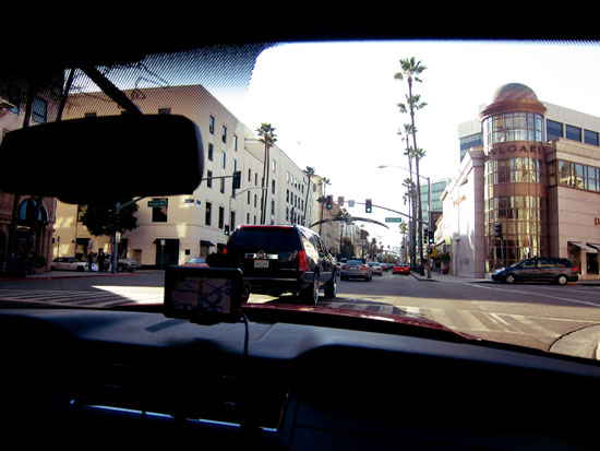
Los Angeles
How to Create a Trip Map Using EasyGPS and GPSVisualizer.com
How To
,
Photography
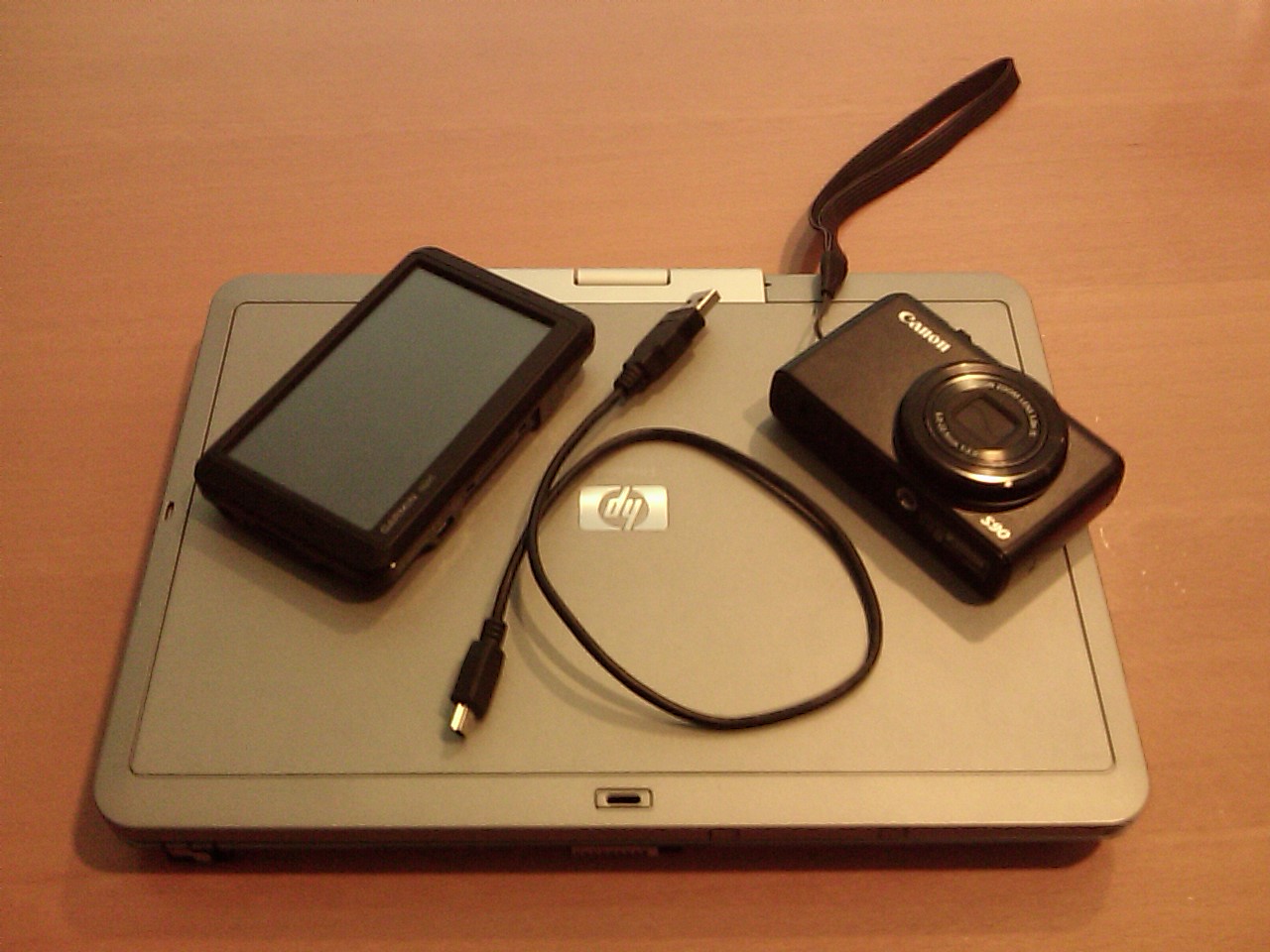
How To Geotag Photos with EasyGPS – Part 2
How To
,
Photography
How To Geotag Photos with EasyGPS – Part 1
Facebook
Twitter
Google+
Pinterest
RSS